Elswick Newcastle – research notes
November 13th, 2017
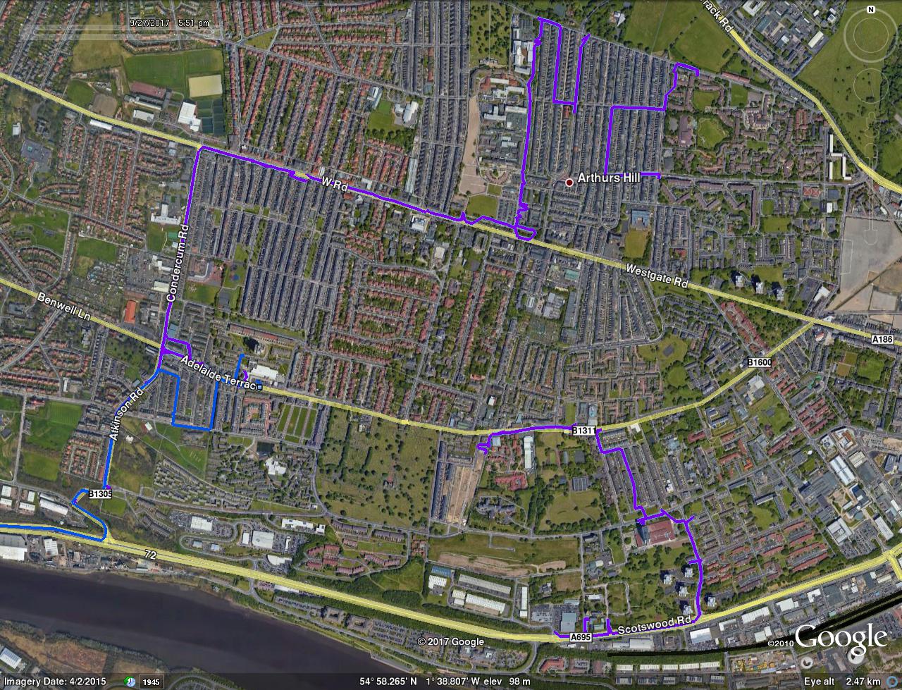
I was planning to write this up and perhaps one day I will. But the closer I look the more the subject grows and the less I actually know about the district. You can see my walk above and I met some interesting people but life is taking over and this will have to wait. Likewise Byker. So I’ll leave these notes here for anybody else planning to go.
Your first online source is National Library of Scotland and your first visit ought to be to Cruddas Park library
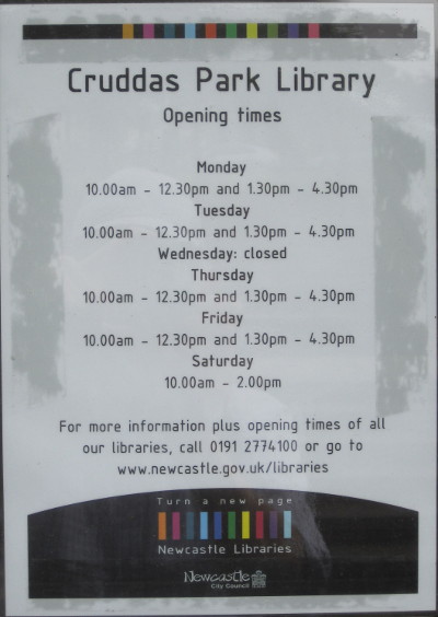
where if you have time you can read these:-
Reading
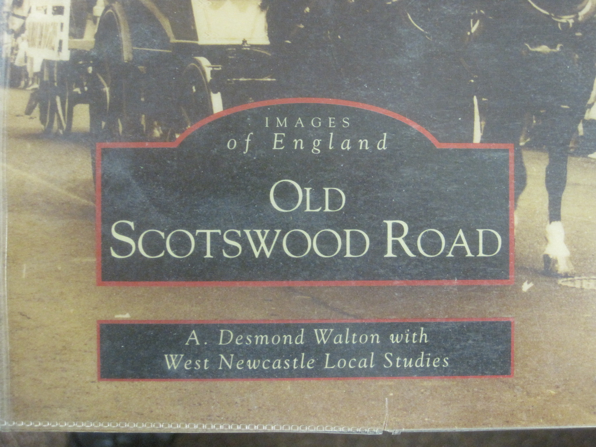
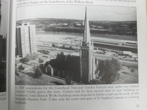
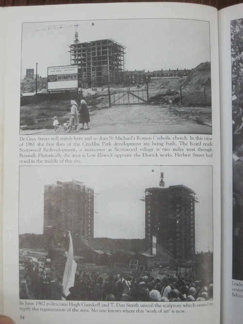
On p.55 “Leader of the Opposition, Hugh Gaitskell, was in Newcastle to attend the Blaydon Races centenary celebrations, 9 June 1962. To celebrate the centenary he opened the Willows flats. Behind him is T. Dan Smith whose ambition had been to make Newcastle ‘the new Brasilia’.”
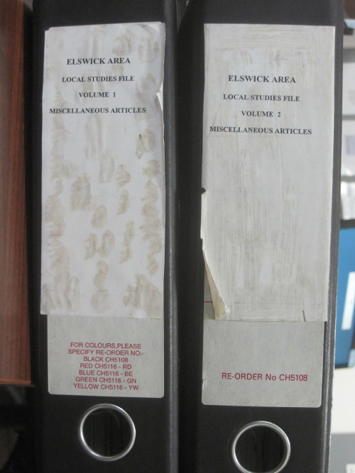
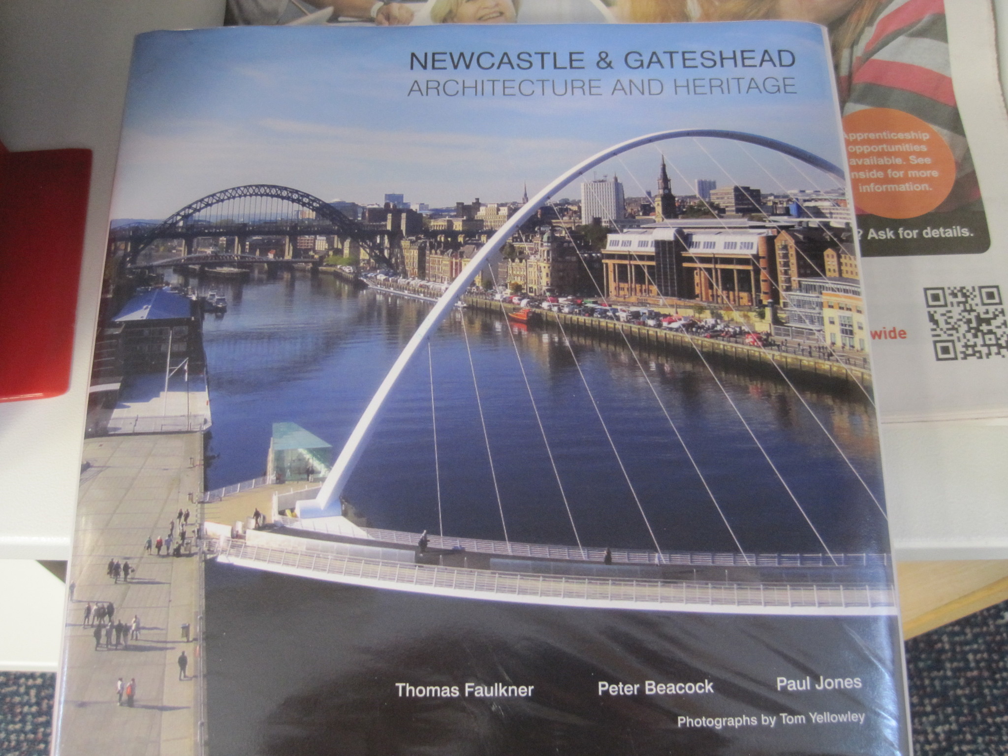
From West End library
ElswickWalkingTourA4forPDF.pdf
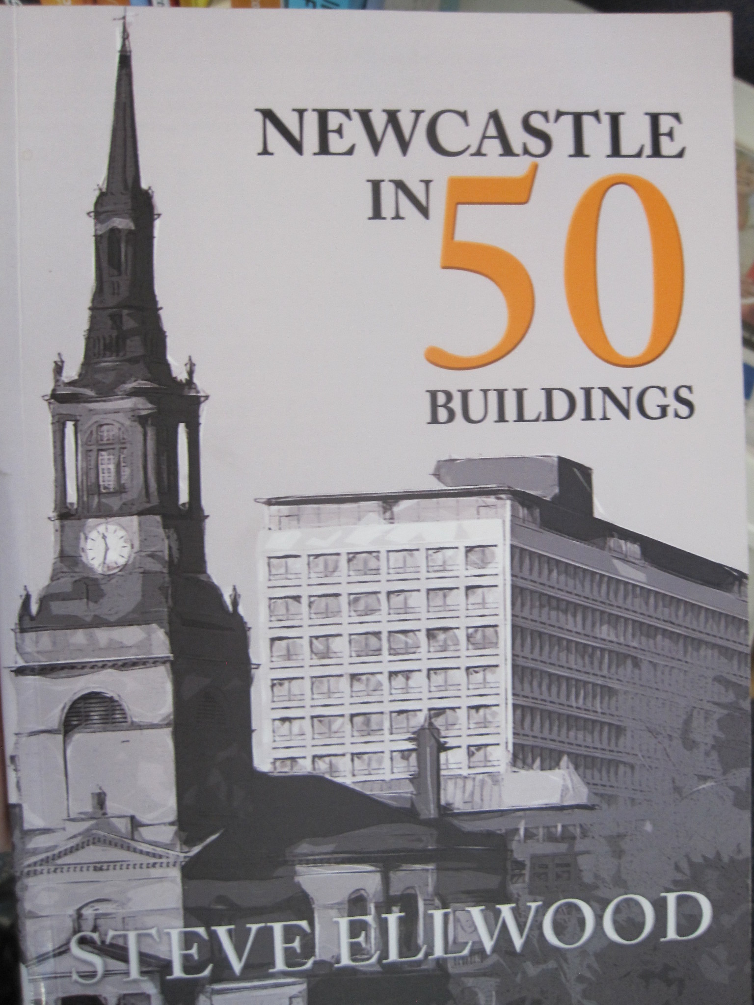
Elswick-in-maps-and-pictures-booklet.pdf
From the Tyne Gorge Study:-
Historic Evolution p117
Before the mid 19th Century much the Tyne was only navigable at high tide and there were numerous sand banks and islands. The invention of the steam dredger had a massive effect on the use of the river and it was extensively dredged to allow ships access to Elswick and Dunston.
Up to the 1860s this area was a rural riverscape, the main feature being the King’s Meadows a 30 acre island complete with a pub. It provided a venue for recreational activities such as horse racing and regattas and the cows were kept to supply the village of Elswick with milk.
By 1890 the island had been dredged to make way for industrial shipping and by 1901 the Tyne was the busiest river in Britain after the Thames and was the premier coal port in the United Kingdom. Changes in the character of the river have occurred since the wharfage for commercial shipping was moved closer to the mouth of the Tyne in 1981. Once again the river is forming banks of silt.
Settled Hills
Historic Evolution p177
The arrival of the railway in 1839, followed by Armstrong’s factory in 1847, heralded the beginning of a massive wave of housebuilding. The ubiquitous Tyneside flat, where two separate dwellings are combined in a single house, were laid out in a gridiron pattern, following the fashion in America.
However, Elswick’s reliance on heavy manufacturing had grave implications for its community in the inter War depression – large Victorian houses fell into multiple occupancy, and munitions manufacture was turned to light engineering.
By 1964 the post war “slum” clearance meant that the community was dispersed. Few historic buildings remained after this period of wholesale demolition. New high-tech business parks now occupy the lower slopes, while the upper slopes are given over to late 20th century residential development.
p177 Tyne Gorge Study
Pevsner – Northumberland p259-60
Outer Newcastle, West
Newcastle is a town with no west end. The Elswick works along the river immediately w of the railway station lay perhaps too close to the western suburbs to allow for the development of fashionable residential quarters.
There follows a list of churches of which I have noted only one, St Stephens robbed of its body.
St Stephen, Brunel Terrace. By R. J. Johnson, 1868. Nothing special.
The spread of Newcastle into the w villages can be observed along Westgate Road e.g. at the corner of Worley Street [all I can see is a Best Western hotel – Ed.]
Some Googling
Lead shot
http://www.britishpathe.com/video/shot-tower/
The Maritime Heritage of the North East 2006 – Armstrong
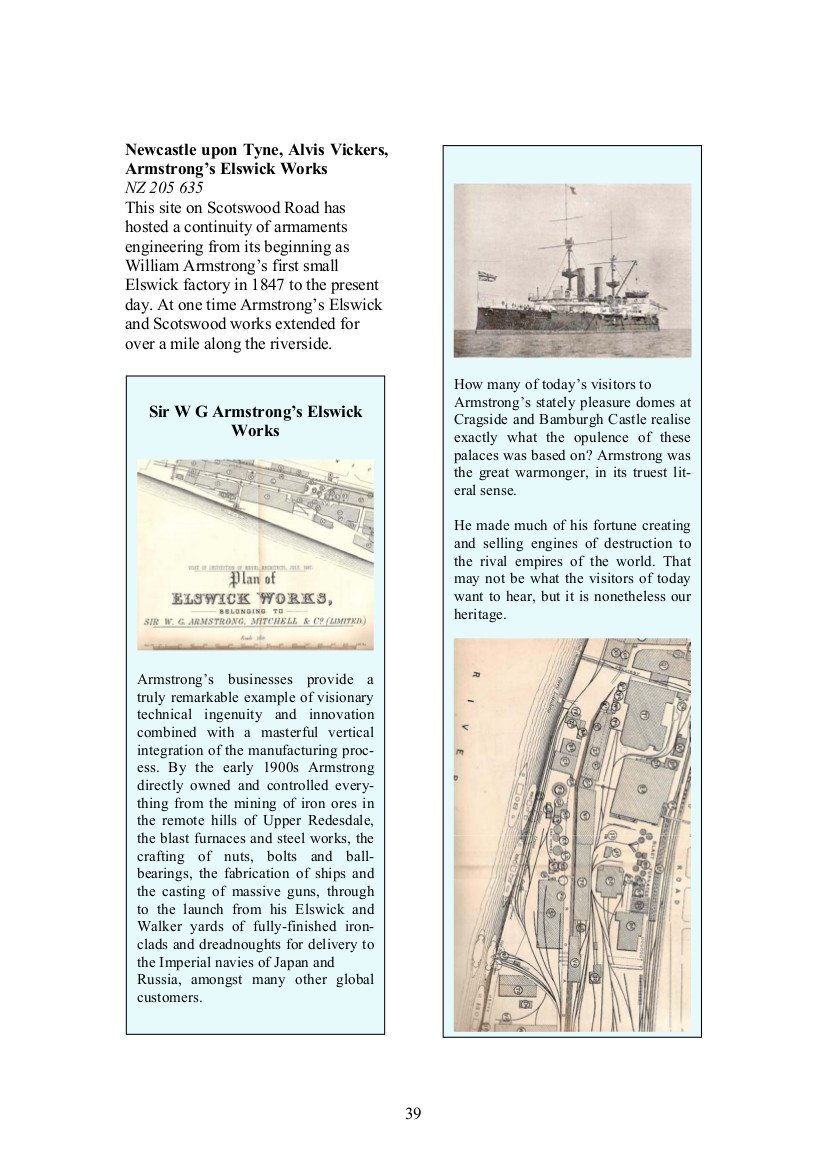
Link -> Maritime Heritage of the North East 2006
Do any Elswick buildings appear in the two picture books?
Nix
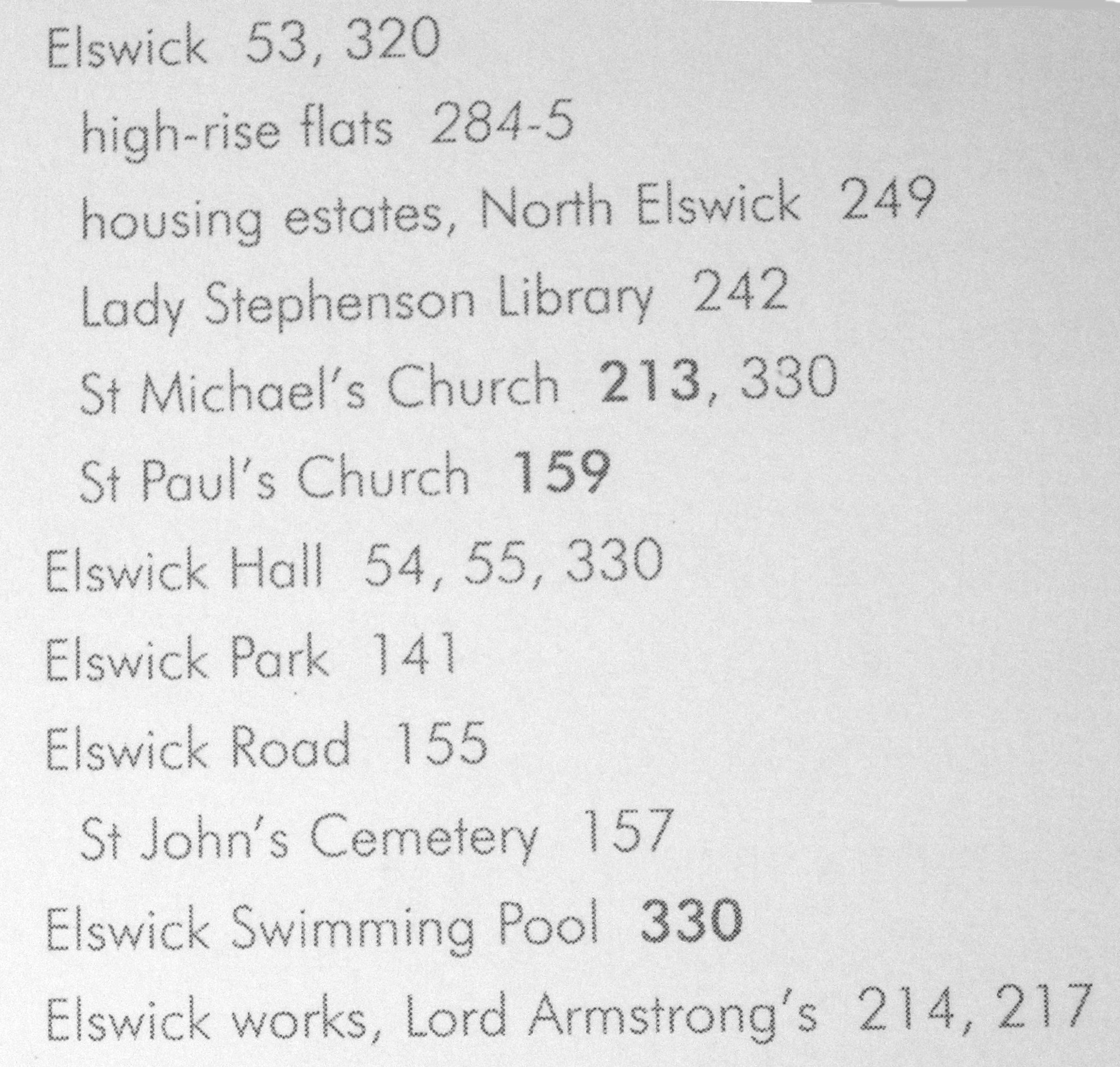
The Elswick index from F, B & Jones
p218 FB&Jones – Westgate Hill School below
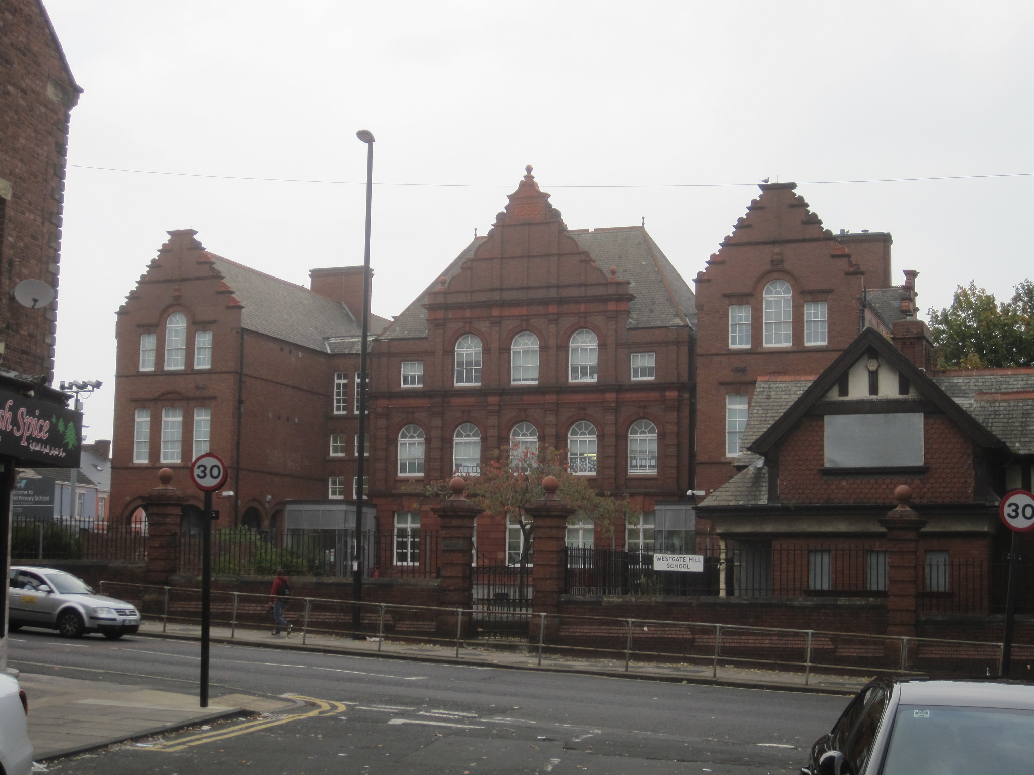
My photograph – not taken from the book
Multiple indexes of deprivation
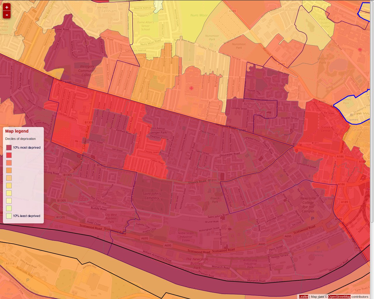
http://dclgapps.communities.gov.uk/imd/idmap.html
Twitter writeup in nine Tweets
#Elswick #Newcastle Since I won't be writing this up here are some snapshots from memory. 1/ Having parked at Asda Adelaide Terrace I thought "this is a poor area". It is. pic.twitter.com/ajyBxnmK8H
— Otaniemi (@Otaneimi) November 16, 2017
#Elswick #Newcastle 2/ West End library has a good local history section and is worth visiting. https://t.co/N6LVqXsenj especially Mondays.
— Otaniemi (@Otaneimi) November 16, 2017
#Elswick #Newcastle The old Union Workhouse is boarded up and declared unsafe but looks pretty solid to me. @Workhouses pic.twitter.com/6X9Fb7nhd4
— Otaniemi (@Otaneimi) November 16, 2017
#Elswick #Newcastle 4/ Sidney Grove and Brighton Grove come off better in the #MID maps, with many BTL properties. Former merchant houses. pic.twitter.com/epSBYYpFrl
— Otaniemi (@Otaneimi) November 16, 2017
#Elswick #Newcastle 5/ Stanhope Road is a multi ethnic melting pot. The street signs alone show the diversity of this neighbourhood. pic.twitter.com/WKOvJzgZC1
— Otaniemi (@Otaneimi) November 16, 2017
#Elswick #Newcastle 6/ The sheer joy of this terrace of #Tyneside flats on West View facing St John's cemetery. pic.twitter.com/Ge6OzpgIlc
— Otaniemi (@Otaneimi) November 16, 2017
#Elswick #Newcastle 7/ This interesting contrast of the old and new looking down to what's left of T. Dan Smith's Cruddas Park towers. pic.twitter.com/tO52ZDC4VV
— Otaniemi (@Otaneimi) November 16, 2017
#Elswick #Newcastle 8/ and the sadness of amputated St Stephens "St Stephen, Brunel Terrace. By R. J. Johnson, 1868. Nothing special." – Pevsner. pic.twitter.com/adhbjeRGM5
— Otaniemi (@Otaneimi) November 16, 2017
#Elswick #Newcastle 9/ Met an interesting man who runs a student lettings agency at 138a Brighton Grove. Lovely "office" – gnd flr of house and knowledgable about the history of the area. "These houses were built by the merchants who ran the Customs House"
— Otaniemi (@Otaneimi) November 16, 2017